
Shawnee ZIP Codes in Use
The official postal material captured for Shawnee identifies 74801, 74802, and 74804 as search candidates. It does not publish a dependable neighborhood-by-neighborhood boundary for each one, post-office station names, a PO-box classification, or a split date. That limit matters. The Shawnee ZIP code directory should be used to start an address check, not to assign a person, neighborhood, or city-limit status from a label alone. USPS is the source for the current delivery form; CityLimits and parcel records answer separate local geography questions.
| ZIP code | Shawnee project coverage | Postal confirmation | Boundary caution |
|---|---|---|---|
| 74801 | Shawnee postal-city addresses identified by USPS tools | Check the exact street in USPS | A Shawnee mailing city can extend beyond city limits |
| 74802 | Included in the Shawnee postal label group | Confirm current delivery type with USPS | Do not assume a physical residence or incorporated address |
| 74804 | Shawnee-area label in county and election material | Validate each address against USPS | Edge-of-city and county addresses need a parcel and CityLimits check |
USPS labeling groups the three codes with Shawnee, but a label grouping does not define an incorporated boundary, a route's full physical area, or residency. The Pottawatomie election material includes an Acme Road example with a 74804 mailing label, which is a practical reminder to check postal and election geography separately. No official Shawnee-by-ZIP population or registration table was located in the research.
Use the Shawnee ZIP code directory as an address index, not a boundary map. A printed ZIP in an older record can be retained as historical evidence, while a current USPS result belongs in a separate modern-address field. This makes later checks possible without silently converting a past postal form into a claim about today's delivery area.
USPS Checks a Shawnee ZIP
Use USPS ZIP Lookup before entering a local portal. Its By Address route takes a required street address, city, and state, with optional company, apartment or suite, and ZIP fields. It also offers City and State and Cities by ZIP modes. The result checks delivery format. USPS specifically warns that it does not confirm that a person or company receives mail at the address, so it cannot create a roster for a Shawnee ZIP code directory.
| USPS search field | Captured use | Why retain it |
|---|---|---|
| Street address | Required for By Address | Preserves the address used to test delivery format. |
| Apartment or suite | Optional | Prevents a unit omission from changing the returned format. |
| City and state | Required for By Address and City and State modes | Separates the postal label from local jurisdiction. |
| ZIP code | Optional with an address; required in Cities by ZIP mode | Lets the researcher compare an existing label with USPS output. |
Note: Keep both the original address and USPS-standardized form, since normalizing a historic or unit address can hide a meaningful difference.
ZIP Plus Four for Shawnee
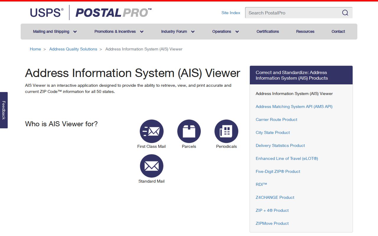
USPS AIS Viewer is a second postal tool. An address lookup can return ZIP, ZIP+4, carrier route, county, delivery point, and a check digit. It is an address-quality product, not a resident database. Use it when a Shawnee record has a partial delivery detail or when a tax, permit, or historic source needs a modern postal comparison. Do not treat a carrier route as a block boundary or a list of households.
The USPS AIS address-quality viewer displays the delivery fields that can refine a Shawnee postal address.
The county value returned by a postal tool can support an address check, but it does not replace CityLimits, a parcel boundary, or a precinct map. Preserve the source date because postal data can change.
ZIP Codes Do Not List Residents
No inspected Shawnee public portal offered a ZIP-wide resident search. The Pottawatomie tax search exposes owner name, address, street name, two parcel-number routes, and section, township, and range controls, but no visible ZIP field. City GIS searches parcels and geometry rather than ZIPs. The voter verification portal asks for first name, last name, and date of birth, not a ZIP. A permit application may collect a mailing ZIP, yet its available search screen did not expose a ZIP-wide person query.
That limitation is useful. It stops a ZIP code directory from being mistaken for a household directory. First identify a USPS-valid address, then query that address or parcel through the appropriate custodian. The result should remain an address or property record with its date and stated purpose, not a claim about everyone who shares the ZIP.
Search Shawnee Addresses by ZIP Code
Once a ZIP narrows the postal form, a Shawnee search becomes address-by-address. This keeps the postal layer separate from the county and city records that can answer property or jurisdiction questions. Use a date range for historical research, since the address printed in a prior document may not match the current USPS form.
- Validate the complete Shawnee address in USPS and retain the returned ZIP or ZIP+4 alongside the original form.
- Look up the address in the City_Property layer or Pottawatomie tax search, then capture the Parcel_ID, property address, and any owner or mailing fields shown.
- Check the CityLimits layer and the applicable county or precinct context before describing the address as inside Shawnee city.
- Use the County Clerk index for dated instruments tied to the same legal description, then mark ownership and occupancy as separate questions.
For a full address and street-record trail after that first check, use the Shawnee Street Directory. A ZIP is a useful filter, but the parcel and legal description are stronger local keys.
Shawnee ZIPs Need Parcel Context
The City of Shawnee's City_Property layer includes Parcel_ID, OWNER, Property Address, Documents, description fields, geometry, and edit information. Its related service directory also lists Lots, Plats, Blocks, CityLimits, Roads, Zoning, cemetery, and infrastructure layers. The layer supports Identify, Query, pagination, distance queries, and attachments, with a maximum of 2,000 features per query. These are geographic tools, not a ZIP code roster.
A parcel can lack a property address, and one street address can resolve to more than one parcel. Parcel IDs shown in the data use segmented forms, but no segment legend was published. Treat the Parcel_ID as an opaque lookup key unless the Assessor explains it. Use a legal description, lot, block, subdivision, or section-township-range field to bridge postal changes.
For a ZIP code directory search near Shawnee's edge, CityLimits and Roads are especially useful. They show municipal and street context without pretending a postal route has a fixed polygon. The City_Property service also includes cemetery and infrastructure layers. A cemetery parcel or agency location must be labeled by its actual record type, not treated as a residence because it shares a Shawnee ZIP.
ZCTAs Differ From Shawnee ZIPs
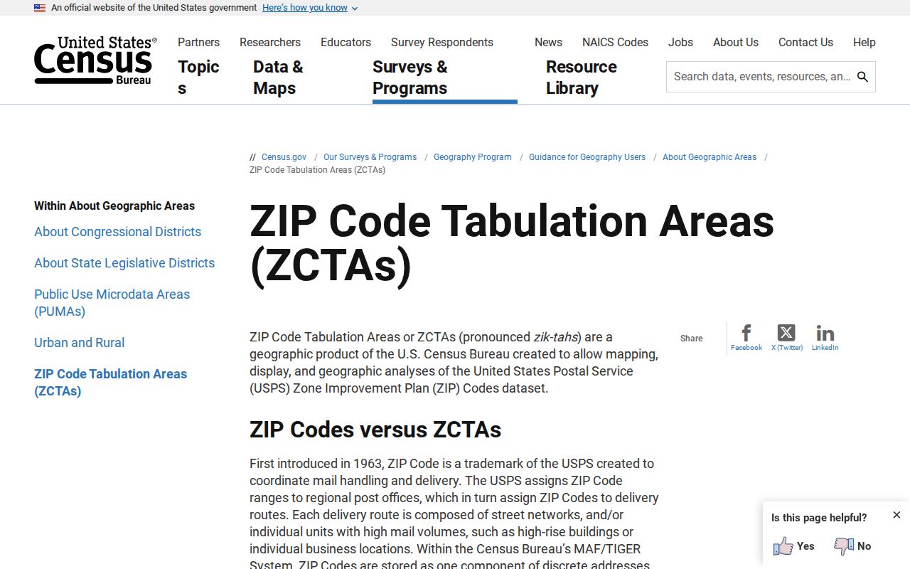
The Census explains that ZIP Codes are postal delivery routes, not polygons. Its ZCTAs, or ZIP Code Tabulation Areas, are generalized areas built from addresses. They can be noncontiguous and can contain islands or enclaves, so they do not exactly reproduce postal delivery areas. A unique, institutional, or PO-box ZIP can also behave differently from an ordinary street-delivery area. This local geography quirk is why a Shawnee ZIP code directory should not use a map boundary to place a person.
Census guidance on ZIP Codes and ZCTAs shows the distinction between postal service areas and Census geography.
Aggregate Census figures should be labeled as ZCTA or city statistics, with their vintage. They do not count every address that uses a Shawnee postal label.
Shawnee Precincts Add Another Layer
Postal, election, and municipal geography answer different questions. The Oklahoma election-map material for Pottawatomie County shows why an address with a 74804 mailing label still needs a precinct and local-boundary check. Precinct, school or technology-center identifiers, municipality, county, and registration date can appear in ordinary voter data, but they are not a ZIP lookup and do not establish continuous residence.
For a defined election-record question, contact the Pottawatomie County Election Board or use the State Election Board's records-request procedure. Provide a timeframe and a specific record category. The request route can be subject to fees, redactions, and protected-voter rules. Keep that election layer separate from the USPS result and the parcel record.
Shawnee ZIP Boundary Terms
A Shawnee postal city, incorporated city limit, Pottawatomie County parcel, and Census ZCTA are different geographic concepts. Use CityLimits and Roads to establish municipal context, and use the Election Board when a precinct question is involved. A ZIP can cross a county or municipal edge, so the right map depends on the question being asked.
- ZIP and ZIP+4
- A ZIP identifies a delivery area. ZIP+4 adds a smaller delivery segment for a more precise postal address.
- PO-box ZIP
- A ZIP used for post-office boxes. The captured sources did not classify any Shawnee candidate as PO-box-only, so confirm with USPS.
- Unique ZIP
- A ZIP assigned to a single institution or organization. It may not describe ordinary surrounding street delivery.
- Carrier route
- A USPS delivery grouping. It helps with address quality but is not a city boundary or a list of residents.
Boundary check. For a Shawnee address, compare USPS output, parcel geometry, CityLimits, and precinct information before making a geographic claim.